GIS & SURVEY ENGINEERING CONSULTANCY
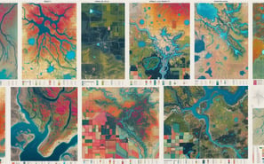
Our GIS (Geographic Information System) and Survey Engineering Consultancy specializes in the collection, analysis, and visualization of spatial data to support planning, decision-making, and management across various sectors. This consultancy integrates geospatial technologies and surveying techniques to accurately map and model geographic features, infrastructure, and natural resources. Services include land surveying, cadastral mapping, aerial and satellite imagery analysis, spatial analysis, and the development of GIS databases and applications. The consultancy works with government agencies, private enterprises, and research institutions to provide comprehensive spatial solutions. GIS and survey engineers within the consultancy utilize advanced software and equipment to gather and interpret spatial data, facilitating informed decision-making in urban planning, environmental management, transportation, and disaster response. The goal is to harness geographic information for optimizing resource allocation, enhancing operational efficiency, and promoting sustainable development.
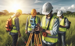





TOPOGRAPHICAL SURVEY
BOUNDARY SURVEYS
CONTOUR MAPS


HYDROGRAPHIC SURVEYS


ASSET MAPPING USING GIS


GIS DATA COLLECTION
