WATER RESOURCE MANAGEMENT CONSULTANCY
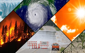
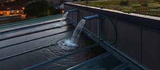
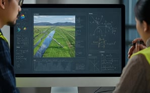
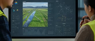
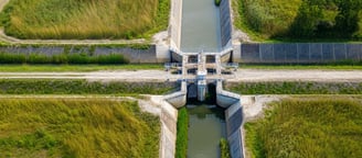
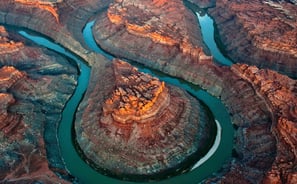
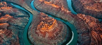
Our Water Resource Management Consultancy specializes in offering expert advice, planning,and solutions related to the efficient and sustainable use of water resources. This includes services such as water conservation strategies, watershed management,hydraulic & hydrological modeling, flood risk assessments, irrigation planning, and the development of sustainable water supply systems. These consultancies work with various stakeholders, including governments, industries, and communities, to ensure that water resources are managed in an environmentally responsible and economically viable manner, addressing challenges like water scarcity, pollution, and climate change impacts.

1D & 2D FLOOD MODELLING
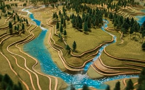
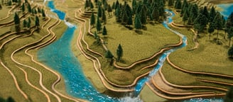
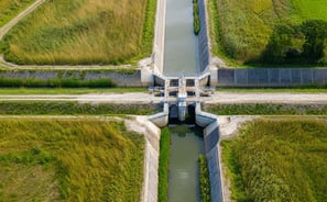
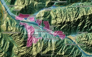
WATERSHED MANAGEMENT
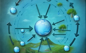
WATER BALANCE STUDIES
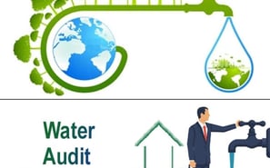
WATER AUDITS
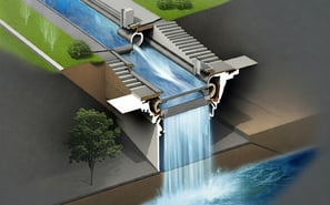
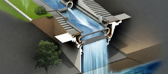
URBAN FLOODING
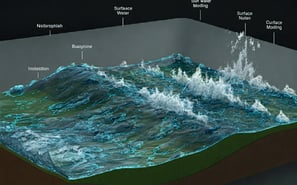
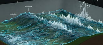
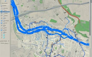
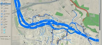
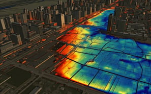
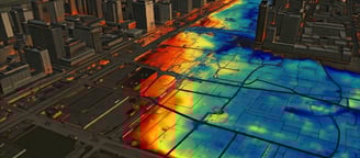
SURFACE WATER MODELLING
IRRIGATION PLANNING
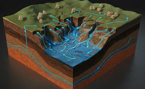
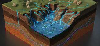
GROUND WATER MODELLING
RAIN WATER HARVESTING
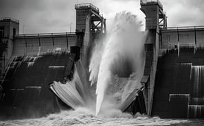
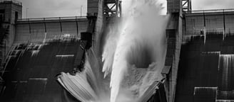
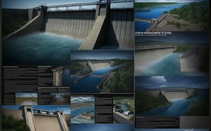
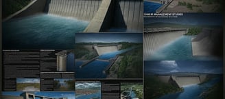
DAM BREAK STUDIES
STORM WATER DRAIN DESIGNS
CROSS DRAINAGE WORKS
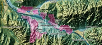
RIVER MORPHOLOGY
FLOOD MITIGATION PLANS
DAM MANAGEMENT